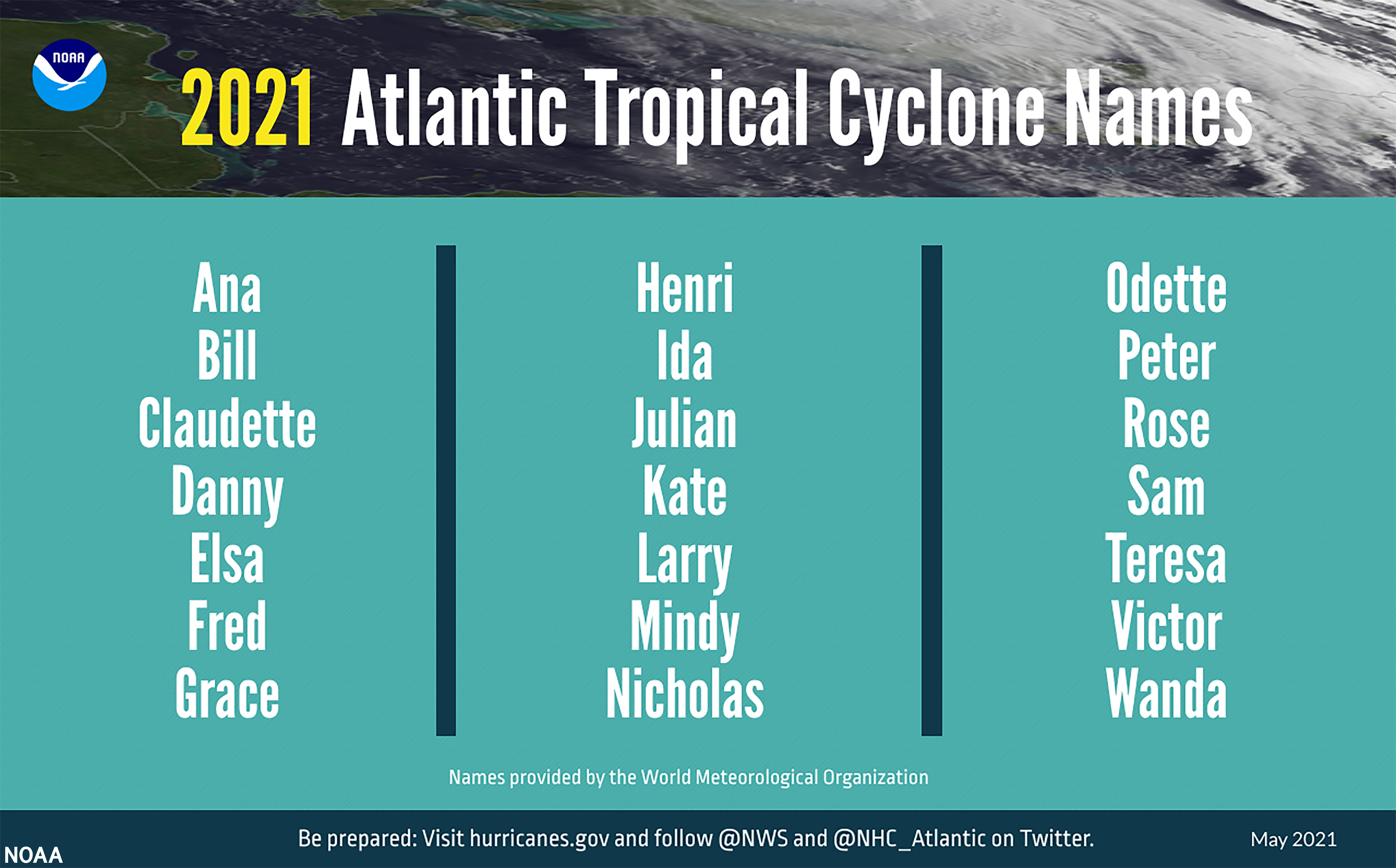
On Thursday, May 20, the National Oceanic and Atmospheric Administration (NOAA) National Hurricane Center (NHC) released its initial 2021 Atlantic Hurricane Season Outlook, marking the second consecutive season to begin amidst the COVID-19 pandemic. While this year likely won’t surpass the record-breaking 2020 season that resulted in 30 named storms, the most in recorded history, scientists have indicated another above-average season is brewing; citing a combination of warmer sea surface temperatures in the Atlantic Ocean and Caribbean Sea, weaker Atlantic trade winds, and an enhanced West African monsoon.
In terms of activity, NOAA predicted a total of six to 10 hurricanes, with a potential for three to five storms reaching a major Category 3 or higher. Earlier this week, NOAA also released their predictions for the Central Pacific, pointing to a below-normal season with two to five named tropical cyclones expected through November.
News & Features: NOAA
If the past two years have taught us anything in emergency management, it’s that the days of focusing on a single incident response are over. Weather-related events are increasing in frequency and strength, the Nation’s critical infrastructure is in a dire state, and the need to address cascading impacts is becoming more and more prominent.
Last year, the disaster workforce assembled to address new challenges associated with hurricane and wildfire season during a pandemic ‒ most notably the Federal Emergency Management Agency’s (FEMA’s) declaration of “Evacuation & Sheltering Assistance under an Emergency Declaration in a COVID-19 Environment,” and addressing disaster fatigue and burnout amongst the emergency management workforce and public. While there is hope on the horizon, emergency managers, elected officials, and the public must now be prepared to address the threat of natural disasters while ensuring vaccination efforts continue to move forward.
Amplifying the dual threat of hurricane season and COVID-19, this year’s recent La Niña period has presented warmer, drier-than-normal conditions throughout the West and Southwest United States (US), leading to severe drought, dry vegetation, and below-average snowpack across many states and across the different regions. According to NOAA’s National Centers for Environmental Information (NCEI) and the National Interagency Fire Center, four Southwest states experienced their driest April-to-March period in over a century. All of these signs point to significant wildfire potential throughout these regions in the coming months.
Although the Atlantic hurricane season does not officially begin until June 1, tropical depression, flooding, and wildfire activity has already begun in the Southern and Western regions of the US.
Hurricanes and Tropical Storms
The first tropical storm of 2021, Tropical Storm Andres, developed in the Pacific in early May. The US NHC routinely starts naming storms on June 10, but Pacific storms sometimes emerge on or before the official start of the Pacific hurricane season on May 15. This is the third time in the last five years that a tropical storm has emerged before the official start of the season.
Despite the early start this year, NOAA predicted the Central Pacific region will experience near- or below-normal activity in 2021. The season will be followed by NOAA’s newly upgraded Global Forecast System (GFS), which uses updated weather models to advance understanding of hurricane genesis forecasting and heavy rainfall.
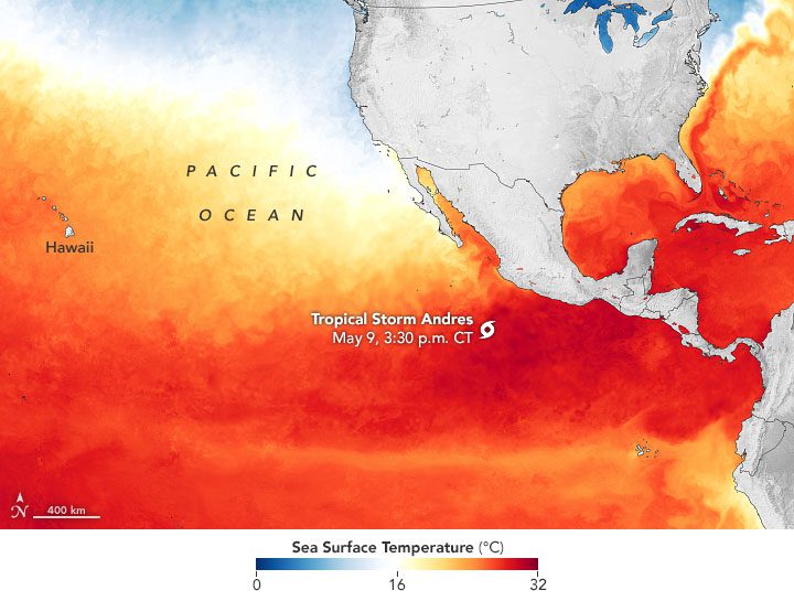
Tropical Storm Andres forming in the Pacific: Earth Observatory
The Moderate Resolution Imaging Spectroradiometer (MODIS) on the National Aeronautics and Space Administration’s (NASA’s) Aqua Satellite acquired a natural-color image of Tropical Storm Andres in the early afternoon of May 9. For most of the day and stretching into May 10, the storm sustained winds of 40 miles per hour (mph), with gusts reaching up to 50 mph. The storm weakened by the afternoon of May 10, retreating west-northwest from the edge of Baja, California.
Wildfires
Given the ongoing drought throughout much of the Western US, wildfire activity has already started to accelerate. According to incident information released by the Los Angeles County Fire Department (LACFD), the Palisades Fire started impacting Los Angeles County on Friday, May 14. At present, the Palisades Fire is currently 72 percent contained and is expected to be fully contained by May 26. To date, the fire has burned roughly 1,158 acres of the Palisades region. The LACFD said the current focus is containment, with firefighters on the scene noting the fire could potentially spread into vegetation that hasn’t burned in over 60 years. At present, there are no reports of civilian injuries or fatalities, and no damaged or destroyed structures.
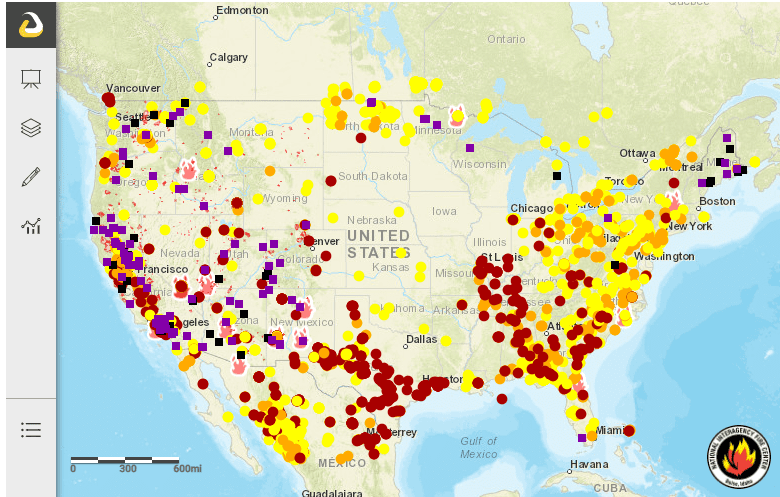
Public Fire Information Website: National Interagency Wildfire Center
Flooding
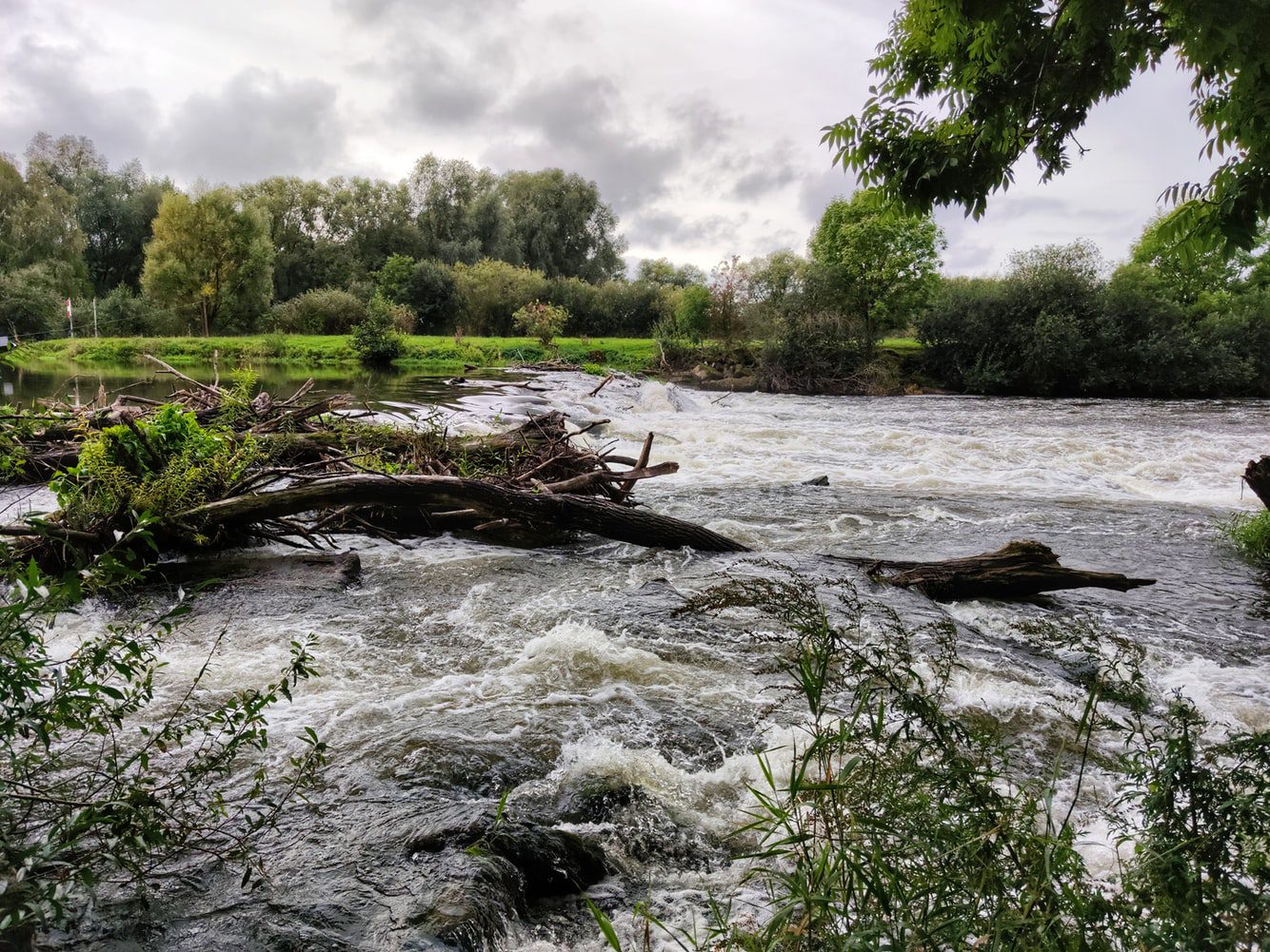
In addition to the US facing risks from hurricanes, tropical storms, and wildfires, the NOAA National Weather Service (NWS) has reported major and moderate flooding throughout coastal Louisiana and Texas since May 17. Heavy rains are forecast to continue through the evening of May 21, with 2 to 3 inches of rainfall expected.
Nazrin B-va: Unsplash
The NWS issued a Flash Flood Watch for Louisiana and Southeast Texas through Friday evening. The NWS New Orleans extended their Flash Flood Warning for the Louisiana parishes of Southern Ascension, Northeastern Assumption, Southeastern Iberville, Southwest Livingston, and St. James until Friday evening, indicating that flooding is ongoing. Additionally, overnight, the NHC announced a 40 percent chance of development within the next five days for a tropical disturbance in the Gulf of Mexico ‒ potentially bringing more rain to the already saturated Gulf Coast region.
240pm Radar Update: Watching convection develop in an unstable area of the northern Gulf with strong surface convergence. Maybe be making it’s way onshore later this evening across SELA and will need to watch closely as heavy rainfall will be likely. #lawx pic.twitter.com/hozWnCqcYb
— NWS New Orleans (@NWSNewOrleans) May 20, 2021
NWS New Orleans : Twitter
Are you prepared?
Many of the challenges we faced during last year’s hurricane and wildfire season will remain prominent throughout 2021, but there are activities the whole community can undertake to prepare for this season. So, as citizens and public servants what can you do to play your part?
SLTT GOVERNMENTS
- Review response and recovery plans and utilize relationships built during COVID-19;
- Emphasize public messaging – communicate early and often;
- Pre-position contracts for debris removal; and
- Anticipate sheltering needs during a lingering COVID-19 environment.
THE PUBLIC
- Plan your evacuation route;
- Visit Ready.gov to make a plan for a variety of disasters, including hurricanes, flooding, and wildfires;
- Review your insurance policies and gather insurance documents to determine if you’re covered under region-specific emergencies, such as flooding or hurricanes;
- Take an inventory of your personal property;
- Keep non-perishable emergency supplies on hand; and
- Take steps to protect your home or business.
Hagerty Can Help
As the emergency management workforce and the Nation as a whole are continuously confronted with billion-dollar weather and climate events and cascading impacts of other unforeseen crises, we must continue to adapt and prepare for multiple hazards, using the recent lessons learned to improve our dual and multi response capabilities. Not sure where to start? Whether it’s related to preparedness, response, recovery, or mitigation, Hagerty Consulting is able to provide expertise and tailored solutions for your community or organization’s needs before, during, and after disasters.
Caleb Smith is a managing associate with Hagerty’s Washington, D.C. office, where he supports various workforce development initiatives for FEMA. Prior to joining Hagerty, Caleb served in roles with FEMA both as a consultant and public servant where he focused on National Flood Insurance Program (NFIP) outreach, and supported individual assistance and stakeholder engagement in response to hurricanes Harvey, Irma, Maria, and Florence. He is also a new member of Hagerty’s Situational Status (SitStat) Team.