THURSDAY, SEPTEMBER 9, 2021 AS OF 9:00 AM EDT
According to the National Oceanic and Atmospheric Administration’s (NOAA) National Hurricane Center (NHC), Tropical Depression Mindy is approximately 80 miles south-southeast of Valdosta, Georgia, moving northeast at 20 miles per hour (mph). The center of the depression is forecast to move over southeastern Georgia this morning and reach the western Atlantic by late Thursday morning or early afternoon. Mindy is anticipated to create heavy rainfall across parts of southern Georgia and coastal South Carolina this morning that could result in isolated-to-scattered flash, urban, and small stream flooding, while tropical storm force wind gusts are also a risk across southeastern parts of Georgia. Total rainfall could reach 2 to 4 inches, with isolated maximum totals of 6 inches, over southern Georgia and coastal South Carolina, while tornadoes could be a potential hazard over parts of northern Florida and southern Georgia on Thursday morning.
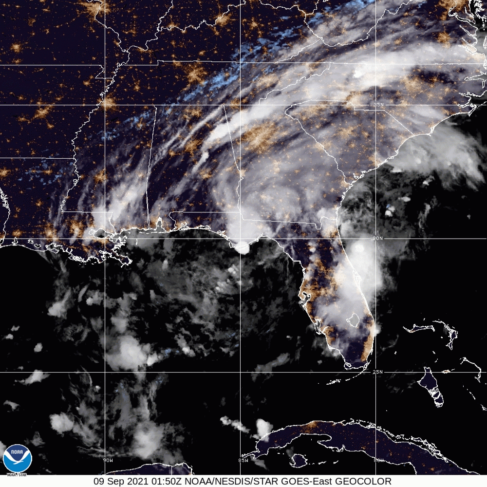
Tropical Depression Mindy – GeoColor: NOAA
Mindy made landfall across the Florida Panhandle on Wednesday evening as a tropical storm in the same area that Tropical Storm Fred hit less than a month ago, according to AccuWeather, yet has been downgraded to a tropical depression as of Thursday morning. Over the span of the morning, Mindy caused over 12,000 power outages across the Florida Panhandle. According to PowerOutage.US, the bulk of the outages took place in Hamilton County, Leon County, Columbia County, Wakulla County, and Jefferson County.
Tropical Storm #Mindy has formed in the northeastern Gulf of Mexico – the 13th named storm of the 2021 Atlantic #hurricane season to date. The average (1991-2020) date for the 13th Atlantic named storm formation is 24 October. pic.twitter.com/REO4x50XlY
— Philip Klotzbach (@philklotzbach) September 8, 2021
NOAA issued an outlook on the 2021 hurricane season in early August, predicting 15 to 21 named storms for the year and seven to 10 hurricanes by the end of the season, with Mindy identified by The New York Times as the 13th named storm of 2021. The new numbers are an increase from the same outlook in May, with the NOAA cautioning that this year’s hurricane season is expected to be above average, following the trend of last year’s record of 30 named storms.
The progression of Tropical Storm #Mindy across our forecast area as shown in this radar loop below. It covers from 4pm Wednesday to 6am this morning. #FLwx https://t.co/2YUOOeZJ73
— NWS Tallahassee (@NWSTallahassee) September 9, 2021
Twitter: NWS Tallahassee

FEMA: Ready Flooded Roads
As Tropical Depression Mindy brings rain and heavy winds to the southeast United States (US), the Federal Emergency Management Agency (FEMA) encourages individuals experiencing major flooding to take necessary and potentially life-saving safety steps during a flood. The most important step is to seek shelter away from the water, which may necessitate getting to the highest ground possible, or evacuating the area if directed to do so. Individuals should pay close attention to national emergency alerts or local alerting systems for the most up-to-date instructions. NOAA’s National Weather Service (NWS) offers additional critical safety measures, including avoiding all areas where water covers electrical outlets or cords (especially basements) and immediately evacuating if seeing or hearing signs of electrical activity. If directed to evacuate, lock your home and disconnect utilities if time permits, while you should turn around immediately if driving during a flood event. Additionally, as Mindy continues to move across many US regions, states and communities should begin preparing for tropical depression-like weather and potential tornadoes.
RELATED STORIES
STAY UPDATED AND LEARN MORE HERE:
- Remember, Ready.gov provides information on how to prepare for a storm and how to keep you and your family safe.
- Understanding the meaning of hurricane maps – a NY Times Opinion Piece: Those Hurricane Maps Don’t Mean What You Think They Mean

Keep track of Hagerty’s incident coverage here: